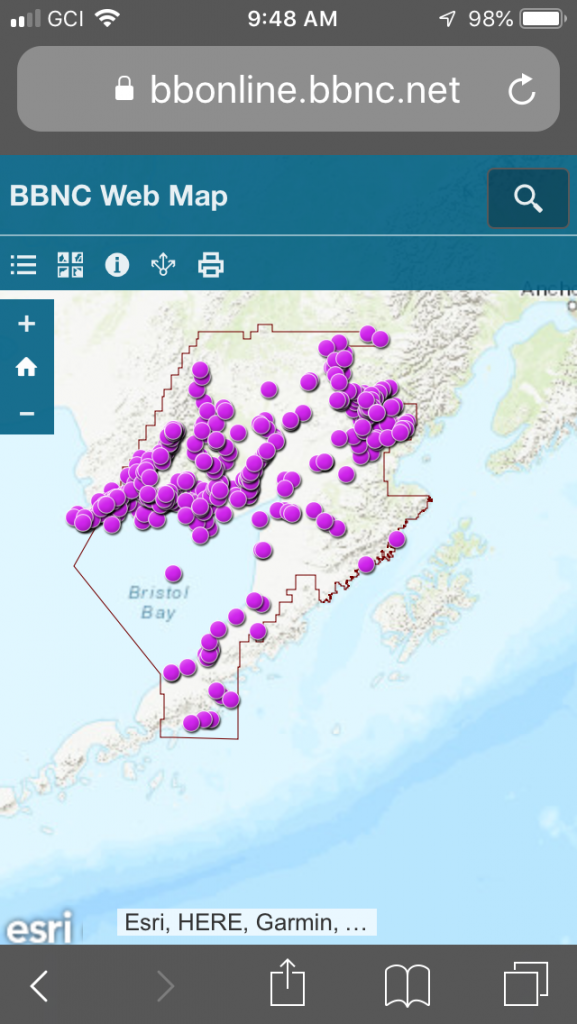
New! Explore an updated version of our place names map, now enhanced for mobile users. With assistance from Bristol Bay Remediation, LLC, BBNC’s Land Department recently launched an improved version of the place names mapping tool. Powered by ESRI’s cloud-based mapping software, the place names site allows users to explore the Bristol Bay region through different views: from topographical and street map to satellite imagery.
Learn about Bristol Bay towns and villages, along with geographic sites such as rivers, valleys, bays and hills. More than 750 locations have been added to the database. Some have up to four names, including two variations of Yup’ik, English, and Russian. BBNC’s Land Department has added audio files to many locations, so you can hear and practice the Yup’ik pronunciation of a site name.
Enjoy this virtual journey through Bristol Bay! Anglaniluci ayagakici Iilgayarmi!

